Charterlink Bareboat Auckland Yacht Charter Vessels Overview
Charterlink Supports a Pest Free Hauraki Gulf
We follow and support the biosecurity requirements set out by Auckland Council and Department of Conservation.
Therefore, we ask all passengers to thoroughly check and clean their gear for pests prior to arrival.
For more information Click Here.
|
About Sailing Bareboat Charters Auckland and Hauraki Gulf
Auckland is blessed to be the doorstep of the
Hauraki Gulf Marine Park, and the beautiful Northland and Coromandel coasts.
In our little paradise there are hundreds of beautiful bays and
islands, opportunities for fishing, snorkelling, diving, enjoying the birdlife,
the marine life, a latte or a vineyard on Waiheke,
the splendour of Mansion House, open water sails to Great Barrier Island or the lovely
pohutukawa-lined Coromandel coast.... this is a cruising and sailing paradise!
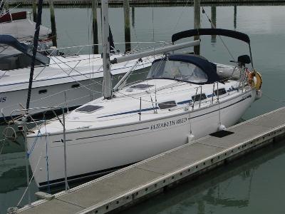
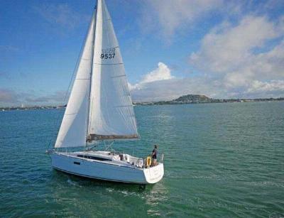
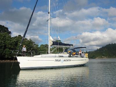
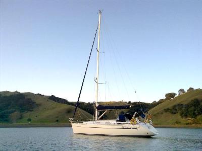
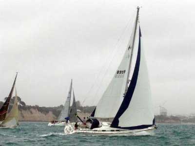
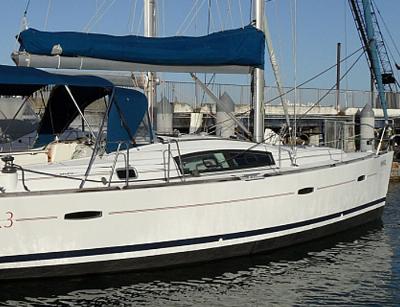
Charterlink operates a fleet of cruising yachts ranging from 30-46 feet,
available for bareboat charter to
suitably experienced yachties. There's a great yacht and a fascinating voyage to
suit every team, from a couple to a family or a group of salty
friends
So come,
Skipper...Charter one of our lovely cruising yachts and enjoy the
beautiful waters of New Zealand's cruising playground... take a great
South Pacific Adventure in the beautiful Coromandel islands or on the
classic coastal route to the Bay of Islands, or take yourself
sailing into our magical Hauraki Gulf from Auckland, the City of Sails!
|
|
Yacht Chartering News & Updates
Pest Free Hauraki Gulf Update
Help Keep The Hauraki Gulf Pest Free - Infomation For Bareboat Charterers
READ MORE
Why Not Have your own Yacht !!
If you are contemplating buying a yacht for use in our beautiful Hauraki Gulf,
Charterlink offers shared ownership schemes where one or two
people own a yacht, and Charterlink manages charters
on her;
READ FULL OWNERS FAQ
|
Cruising Grounds
|

|